Habitat Assessment Software for the Built Environment
Habitat Assessment Software for the Built Environment
Habitat Intelligence
for Built Environments
Cut the desktop work. Get more confidence behind your decisions. A digital tool for habitat and ecological surveys, turning satellite, LiDAR, and ecological data into report-ready output you can trust.
Cut the desktop work. Get more confidence behind your decisions. A digital tool for habitat and ecological surveys, turning satellite, LiDAR, and ecological data into report-ready output you can trust.
Trusted by:





Customer quote
Why Lensor & Habitat Software?
Comprehensive
Habitat Solutions
"I don't want to spend 10+ hours behind the computer preparing data for every site, with Lensor I can cut the desktop hours to 3, and focus on higher value tasks." — Environmental Consultant
Increasing energy, infrastructure, and construction demand is driving land use across Europe. Every new site needs an ecological assessment. Ecologists can spend 10+ hours per site on manual desktop work, pulling together GIS, satellite, Natura 2000, and local datasets, time better spent in the field and making decisions for nature.
"I don't want to spend 10+ hours behind the computer preparing data for every site, with Lensor I can cut the desktop hours to 3, and focus on higher value tasks." — Environmental Consultant
Increasing energy, infrastructure, and construction demand is driving land use across Europe. Every new site needs an ecological assessment. Ecologists can spend 10+ hours per site on manual desktop work, pulling together GIS, satellite, Natura 2000, and local datasets, time better spent in the field and making decisions for nature.
Pre-Site Visit Assessments
Pre-Site Visit Assessments
Fully remote habitat condition assessments. Processed before anyone sets foot on site.
Fully remote habitat condition assessments. Processed before anyone sets foot on site.
Baseline Assessment
Biodiversity Potential Score
Inputs for EIA
Natura 2000 Screening
Zoning and Land Use Planning Support
Restoration Planning
Site Screening
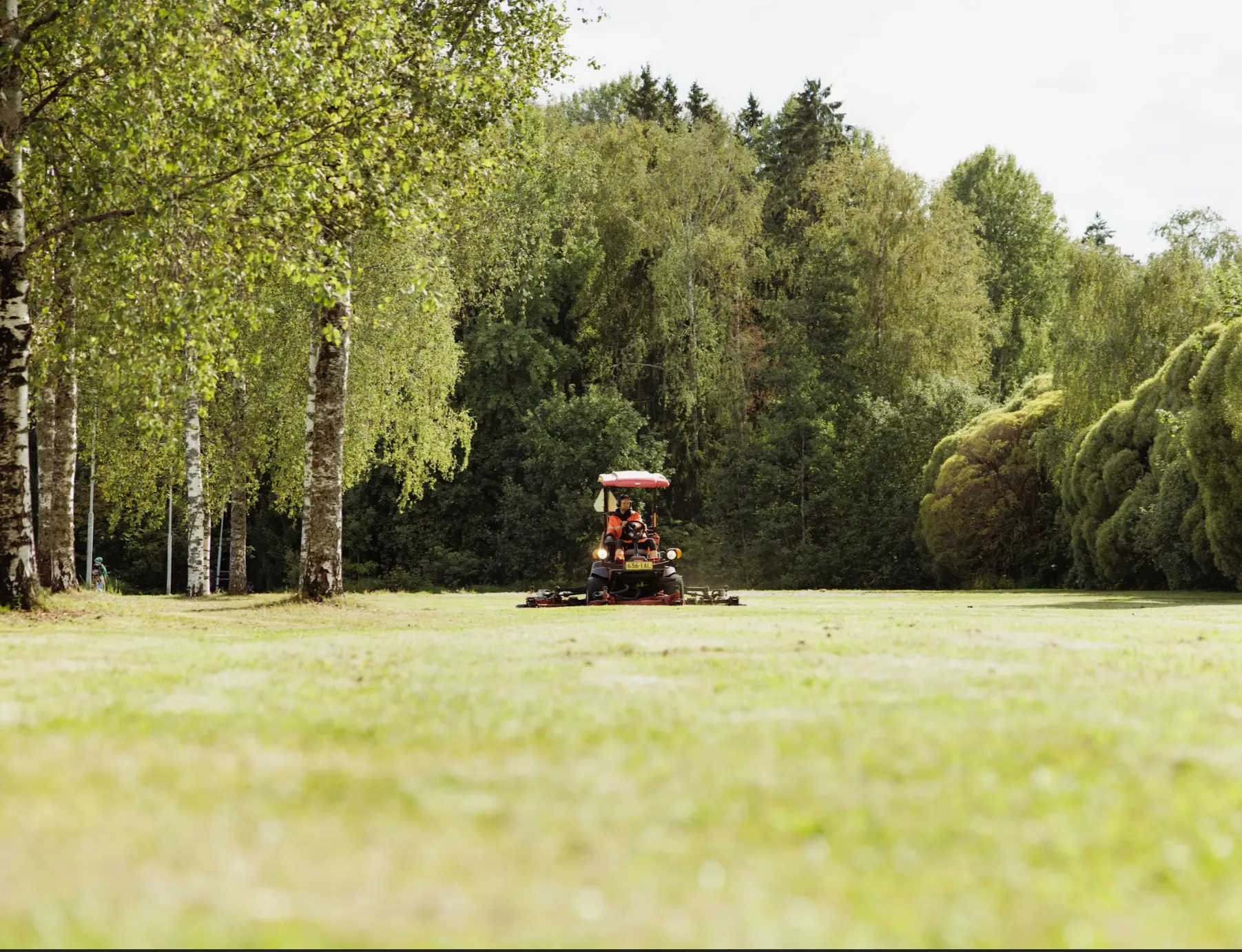
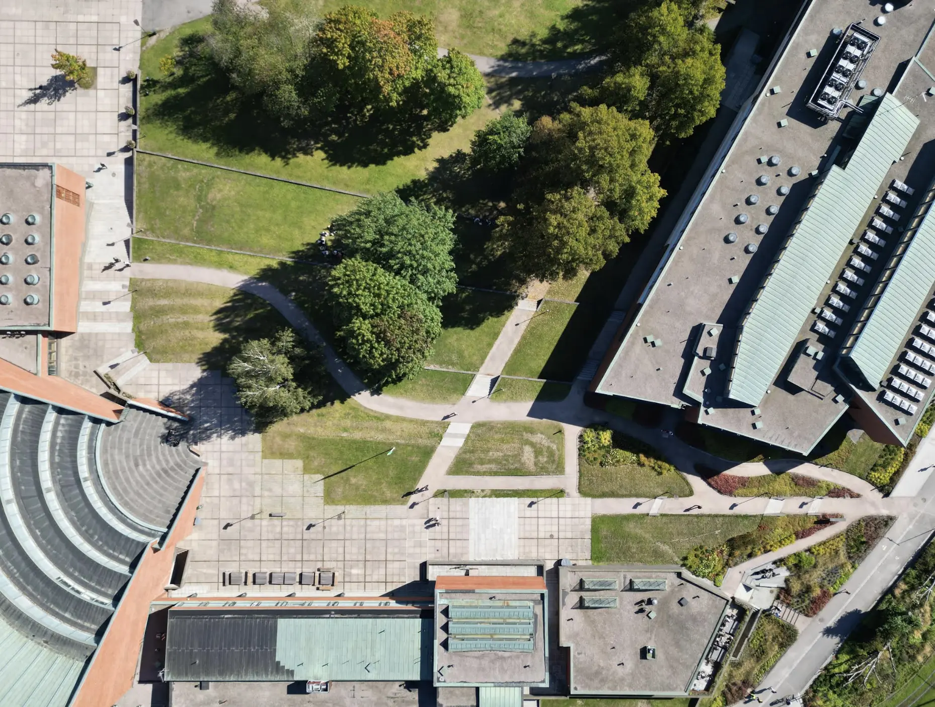
Integration & Monitoring
Integration & Monitoring
Track over time. Site data added to the model.
Track over time. Site data added to the model.
Ground Data Integration
Site Pre and Post Assessment
Restoration Monitoring
Biodiversity Monitoring
Report Ready Output (e.g. EIA, Natura 2000, sustainability reporting)
METHODOLOGY
Technology
Technology To Care
For Nature
AI-powered data fusion. Patent pending. Satellite imagery, LiDAR, and ecological data combined to classify habitats automatically. A Trust Index shows where the technology is confident and where expert judgment is needed. Built by PhDs and environmental engineers with 15+ years of field experience.
HOW IT WORKS

Get in Touch
Reach out and tell us about your assessment needs. We'll help you identify the right plan for your site and set up a short onboarding call. From there, you share your site boundaries and any optional site data.
Get in Touch
Reach out and tell us about your assessment needs. We'll help you identify the right plan for your site and set up a short onboarding call. From there, you share your site boundaries and any optional site data.
Get in Touch
Reach out and tell us about your assessment needs. We'll help you identify the right plan for your site and set up a short onboarding call. From there, you share your site boundaries and any optional site data.

AI Processing
Once your site boundary is uploaded to the platform, Lensor combines satellite imagery, LiDAR, and ecological data using advanced AI. You receive a remote site assessment within days.
AI Processing
Once your site boundary is uploaded to the platform, Lensor combines satellite imagery, LiDAR, and ecological data using advanced AI. You receive a remote site assessment within days.

Field Input & Validation
Your remote assessment arrives in a report-ready format. Add field data and observations as you collect it, and it's automatically built into the final assessment and report.
Field Input & Validation
Your remote assessment arrives in a report-ready format. Add field data and observations as you collect it, and it's automatically built into the final assessment and report.
Field Input & Validation
Your remote assessment arrives in a report-ready format. Add field data and observations as you collect it, and it's automatically built into the final assessment and report.
CASE STUDIES
Proven Impact
Proven Impact
Real outcomes from our habitat assessment software. Across consultancies, restoration teams, and infrastructure projects.
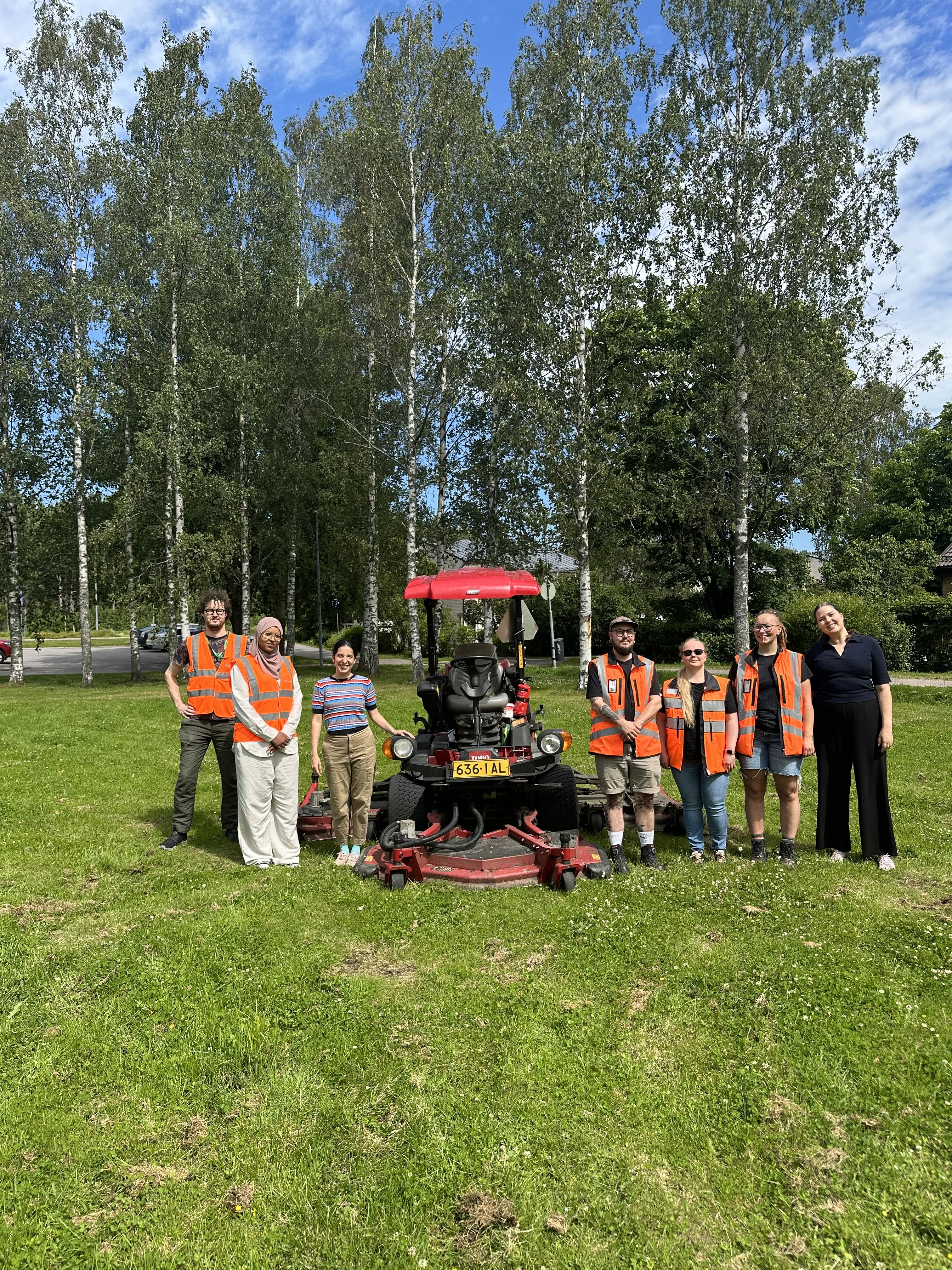
10+ Hours to 3: Report-Ready Habitat Assessments
"I don't want to spend 10+ hours behind the computer preparing data for every site, with Lensor I can cut the desktop hours to 3, and focus on higher value tasks." — Environmental Consultant.
10+ Hours to 3: Report-Ready Habitat Assessments
"I don't want to spend 10+ hours behind the computer preparing data for every site, with Lensor I can cut the desktop hours to 3, and focus on higher value tasks." — Environmental Consultant.
10+ Hours to 3: Report-Ready Habitat Assessments
"I don't want to spend 10+ hours behind the computer preparing data for every site, with Lensor I can cut the desktop hours to 3, and focus on higher value tasks." — Environmental Consultant.

Biodiversity Potential Score
Lensor partnered with Swedish company TBN Atlantic Rainforest operating in Brazil. Now they are using Lensor's tool to access Biodiversity Potential Score and Restoration progress of the land they are restoring.
Biodiversity Potential Score
Lensor partnered with Swedish company TBN Atlantic Rainforest operating in Brazil. Now they are using Lensor's tool to access Biodiversity Potential Score and Restoration progress of the land they are restoring.
Biodiversity Potential Score
Lensor partnered with Swedish company TBN Atlantic Rainforest operating in Brazil. Now they are using Lensor's tool to access Biodiversity Potential Score and Restoration progress of the land they are restoring.
Get a Free Software Trial for Your Site?
Whether you're an environmental consultant, ecologist, project manager (energy, infrastructure, restoration), sustainability lead, or asset manager, we can help you review how Lensor fits into your existing workflow.
Reach out for a free trial of our software on your own site.
Email: lisa.theman@lensor.io
Addresses:
Helsinki Incubators Co-Working Space: Yliopistonkatu 3, 3rd Floor, 00100 Helsinki, Finland
BLOXHUB: Bryghuspladsen 8, 1473 Copenhagen, Denmark
Get a Free Software Trial for Your Site?
Whether you're an environmental consultant, ecologist, project manager (energy, infrastructure, restoration), sustainability lead, or asset manager, we can help you review how Lensor fits into your existing workflow.
Reach out for a free trial of our software on your own site.
Email: lisa.theman@lensor.io
Addresses:
Helsinki Incubators Co-Working Space: Yliopistonkatu 3, 3rd Floor, 00100 Helsinki, Finland
BLOXHUB: Bryghuspladsen 8, 1473 Copenhagen, Denmark
Get a Free Software Trial for Your Site?
Whether you're an environmental consultant, ecologist, project manager (energy, infrastructure, restoration), sustainability lead, or asset manager, we can help you review how Lensor fits into your existing workflow.
Reach out for a free trial of our software on your own site.
Email: lisa.theman@lensor.io
Addresses:
Helsinki Incubators Co-Working Space: Yliopistonkatu 3, 3rd Floor, 00100 Helsinki, Finland
BLOXHUB: Bryghuspladsen 8, 1473 Copenhagen, Denmark

Habitat Condition Assessment for the Built Environment.
Habitat Condition Assessment for the Built Environment.
Services
Assessments
Integration
Consulting
Company
About Us
Case Studies
Contact
Infomation
Privacy
Terms
© 2026 Lensor Oy. All rights reserved.